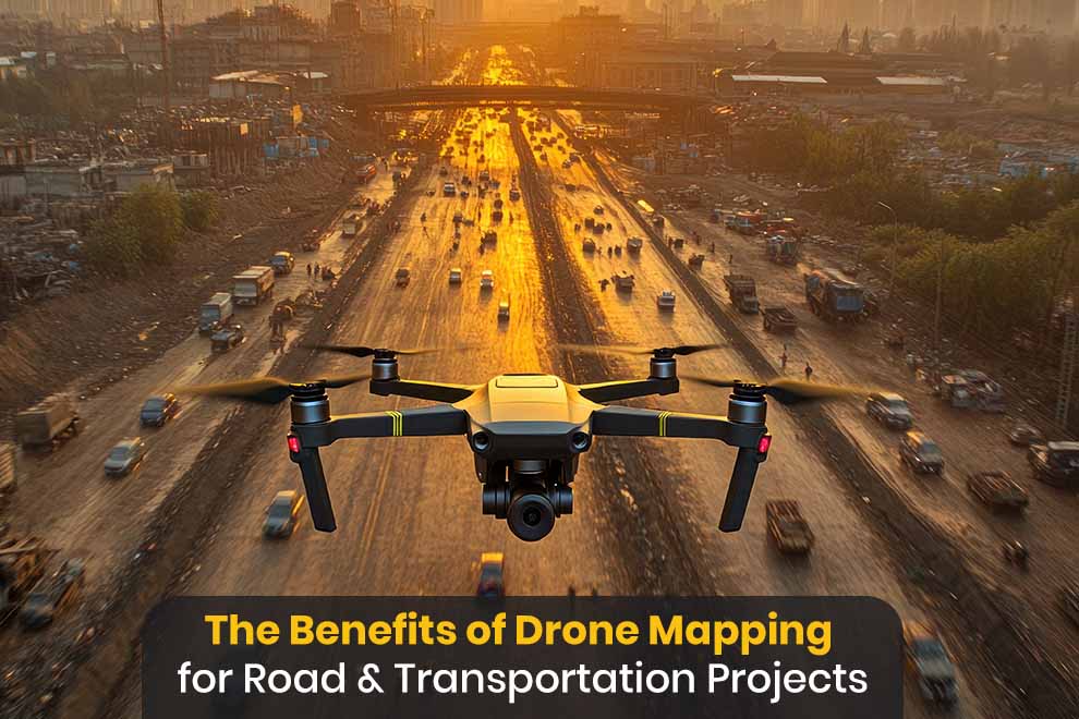
Road and transportation projects are successful when people have accurate information, plan well plus watch progress closely. Old surveying methods are still useful for collecting data but new tools make this work faster and more precise. Drones are now a helpful resource for government offices, engineers, builders but also managers who need to see details of large or complicated areas.
Drones take clear pictures from the air to show road networks, building sites and travel paths. People turn this data into maps, models as well as measurements to help them make choices during a project. As roads and bridges grow or change, using drones helps work go more smoothly.
Improved Data Collection
A main benefit of drones is that they collect data quickly over big spaces. Highways and bridges are often very long next to old methods and take a long time to measure them. Drones fly over these spots and get information in a short time, which means teams see what a site looks like right now without spending weeks in the field.
Drone video services are also very exact, which helps with planning. High quality pictures plus software let experts make ground models and take measurements that are correct down to small units. Because this data is precise, engineers see problems early but also base their designs on facts instead of guesses.
Enhanced Project Planning
Drone services help planners understand a site before they start building. Pictures from the sky show the shape of the land, where water flows, existing buildings and nearby areas that might affect the design – this data lets teams look at different options as well as pick the best path for a specific spot.
Seeing a project from above also makes it easier for everyone to work together. Builders and government workers can all look at the same map to talk about what the project needs – this reduces confusion or helps everyone make better choices together.
Greater Efficiency During Construction
Building projects need regular check ups to make sure work stays on time. Managers use drone maps to compare the current site to the original plans to see if anything is wrong. Frequent flights provide new information without stopping the work on the ground.
Using drones saves a lot of time – Instead of only checking things by hand, teams look at aerial data to see how much dirt they moved or how much pavement they laid – this faster method lets managers fix problems quickly and keeps the project moving.
Improved Safety Standards
Safety is very important for road work, especially near fast cars or steep hills. Drones mean people do not have to walk into dangerous spots just to get data. Surveyors get the info they need from a distance so they stay away from risks.
Some groups also use drone services to watch work zones from a safe spot. Video gives a good look at the site for safety reviews next to progress reports – this also means individuals do not have to visit the site as often for routine checks.
Better Asset Management
Government agencies must take care of roads, bridges and intersections for a long time. Drones create records that show how these structures change over the years – this history helps maintenance teams see when things are breaking down so they can fix the most important parts first.
The data from drones also helps with long term plans – Accurate maps are good references for future upgrades or repairs. When organizations have current data on their assets, they are better at deciding where to spend money plus when to schedule work.
Support For Environmental Assessments
Transportation projects usually need a look at the environment before building starts. Drones help teams gather facts about plants, water and how the land is used – this info is helpful for environmental studies but also following government rules.
The view from the sky lets planners see wide areas that are hard to see from the ground. Finding sensitive nature spots early helps people design projects that cause less harm to the environment.
Conclusion
Drones are a useful tool for road projects because they make data collection better, help with planning, make building faster and keep workers safer. The info from the flights helps teams make good choices as well as saves the time and money that old methods require.
As transportation projects get more complex, drones will likely be used even more. Because they give fast or accurate site information, they are a good choice for groups that want better results and better ways to manage their roads next to bridges.
Also Read: China’s XAG Wings over Mountains Developing Smart Agriculture